Sous le Pic de Crigne
Monêtier-Allemont Medium
Sous le Pic de Crigne
3h30
3,9km
+384m
-384m
Return trip
Embed this item to access it offline
Description
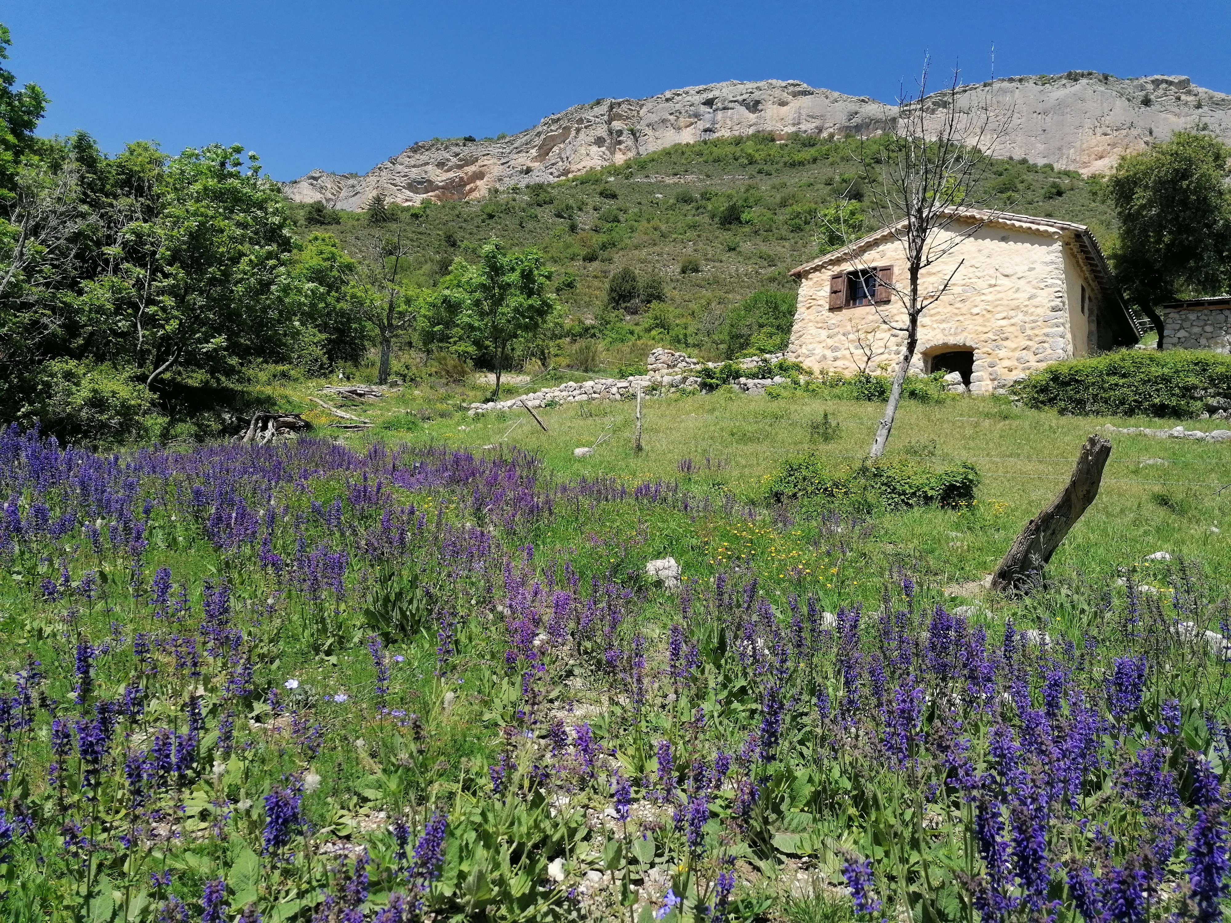
- At the end of the small road (which quickly turns into a track) and just after the fruit farm, turn right at the crossroads where the Natura 2000 information panel is located. At the departure, the path runs along the orchards. The path then goes up through the undergrowth and crosses the river sometimes. This old mule track, carved into the rock is climbing and winding along the face of spectacular cliffs. Several viewpoints of the Durance Valley punctuate the ascent. After a long series of bends, the track turns right under the cliff and pass a breach. Continue on the left in a pleasant undergrowth and arrive under the sheepfold of Basse Crigne (950 m).
- In the meadow under the sheepfold, the path is almost hidden and branches off to the left (it does not go up towards the sheepfold). Continue a few meters and reach a thalweg. The trail is very pleasant, fairly flat and on a balcony. Continue direction south, through old meadows that the forest is gradually recolonizing. When leaving the forest, reach a track, cross it and take the path almost immediately opposite. The path is wild and climbs parallel to the track (on its left) in the direction of Haute Crigne (please note carefully the markings). Reach the Haute bergerie de Crigne (1130 m).
- Go back down by the same route.
- Departure : Petite Queylane (ferme fruitière), Monetier-Allemont
- Arrival : Petite Queylane (ferme fruitière), Monetier-Allemont
- Towns crossed : Monêtier-Allemont
Forecast
Altimetric profile
Information desks

Place des Aires, 05300 Laragne-Montéglin
Transport
Think about public transport and carpooling: https://zou.maregionsud.fr
Access and parking
From Laragne (14 km), take the D942 road in the direction of Lazer/Gap. Follow this road upto the Durance canal, before getting to Monêtier-Allemont. Turn left just before the bridge above the canal, and follow the road upto the next brigde on this canal. Once at the bridge, take left through a small road. Pass a fruit cooperative, and park on a large area at the end of the road, where it becommes a dirt track (water tank). The hike starts from there.
Parking :
Parking à côté du réservoir d'eau, juste au dessus du panneau Natura 2000, Petite Queylane (Monetier-Allemont)
More information
Report a problem or an error
If you have found an error on this page or if you have noticed any problems during your hike, please report them to us here: