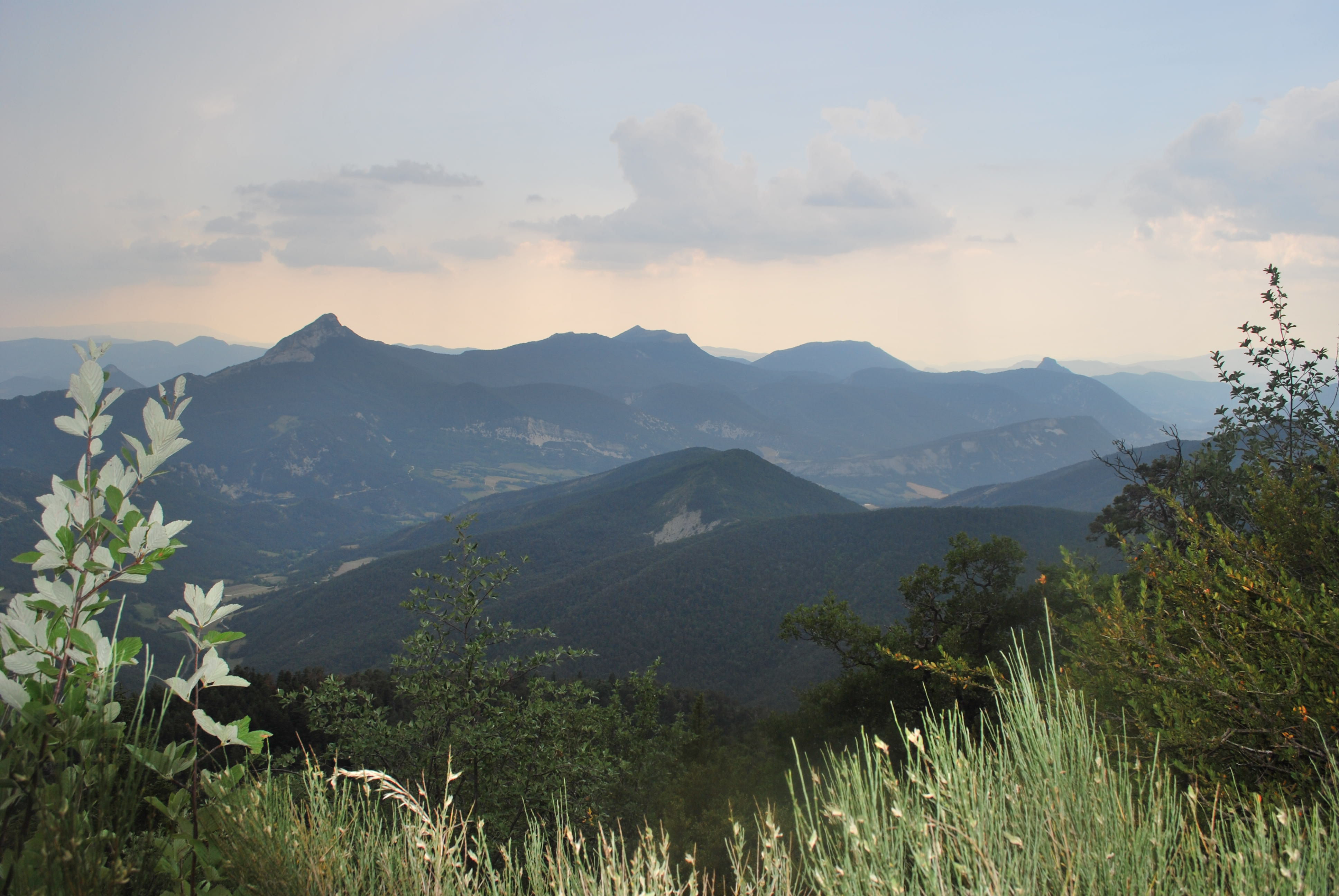
Le Duffre
Description
- Leave the shelter of the Col d'Arron and go towards the post "Col d'Arron - 1450 m". Facing the Duffre mountain, take the left track, direction "Col des Praux". It bends to the right, and meets another path. At the crossroads, continue on the opposite path . Further on it cuts across a track and follows the mountainside above the Oule valley.
- Meet the main track (post "Sous le Col des Praux" - 1250 m). Go down to the right and follow it for about 2 km towards the hut "Cabane de Pré Pourri".
- At the "Les Buisses" post, go up to the right above the track. Continue to the left and follow the markings to reach the hut "cabane de Pré Pourri" .
- At the intersection, just before the hut, follow the path on the right. Flat at the beginning, it then climbs to the ridge of the Sarcéna.
- Just before arriving to the ridge, leave this path and turn left onto a well-marked path. Continue on the ridge up to the cross then reach the top of the bare summit of the Duffre (1757 m).
- Continue on the ridge and reach the Pyramid (1734 m) (top of a ski lift) and walk down to the Pas de la Lauze (1553 m).
- Go down the path to the right, direction "Col d'Arron". When you get to the bottom of the track, go up to the right for reaching your starting point, at the Col d'Arron.
- Towns crossed : Épine, Valdoule, Valdrôme, and Piarre
Forecast
Altimetric profile
Recommandations
- The starting point is located below the Col d'Arron.
- This hike offers no major difficulty but it is long.
Information desks
Transport
- Let’s limit our trips and use public transportation and carpooling: https://zou.maregionsud.fr
Access and parking
- From Rosans (34 km), take the D 25, direction La Charce. In La Charce, follow the D 138, then the D 26, direction Montmorin. 1.5 km after Montmorin, follow the road to the left towards the forester’s house ( Maison Forestière) of l'Adaux d'Oule. Continue along the forest track (4.5 km) up to the Col d'Arron.
- From Serres (34 km), follow the D 1075 towards Gap, then before the bridge at the exit of Serres, take the D 27 towards La Piarre. At La Piarre, reach the hamlet of Vissac and continue along the track to the Col d'Arron.
Parking :
2 points of interest

 Geology
Crests of Sarcena and Aup
Before reaching the summit of Duffre, the trail follows the ridges of the Sarcéna and Aup mountains. During this crossing, many viewpoints open onto the Southern Alps. It is the ideal place to picnic and enjoy the beauty of the landscapes.

 Summit
Le Duffre
Culminating at 1757 m, the ascent of the Duffre requires great efforts. This is worth it, because from up there, the view on all the surrounding heights is breathtaking (Le Bonnet Rouge, Le Risou, Maraysse, Le Rocher de Beaumont, etc.). Next to it, the Pyramid (1734 m) offers an equally impressive view. From these points, you can admire the valleys of the Oule, Rosanais, Serrois and Aiguebelle.
Report a problem or an error
If you have found an error on this page or if you have noticed any problems during your hike, please report them to us here:
