Forecast
Altimetric profile
Information desks

Place du village, 05700 Orpierre
1 point of interest

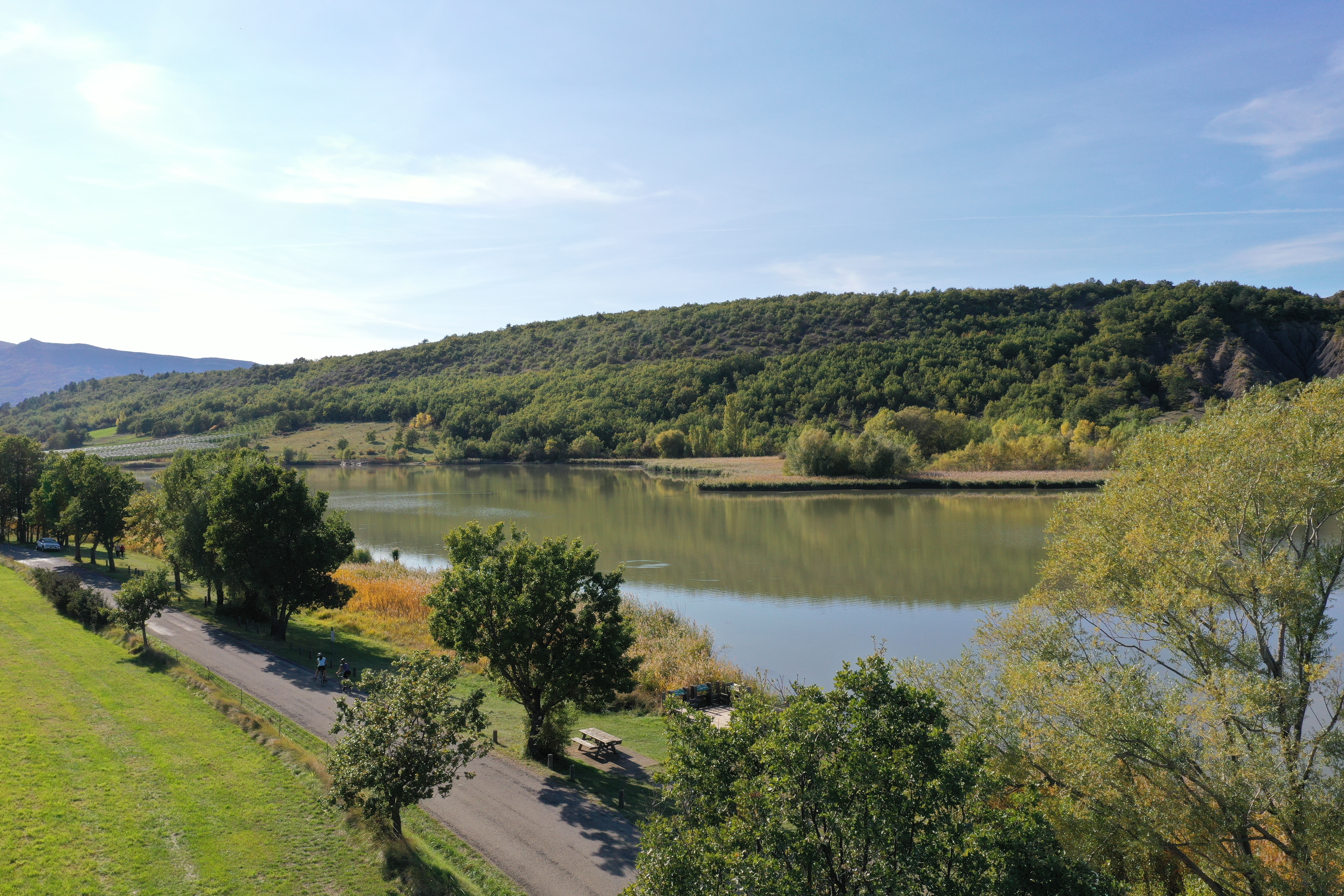
 Lake and river
La Blaisance
La Blaisance takes its source upstream from the town of Montjay, it is a confluence of several torrents. It flows to the town of Garde-Colombe, passing through Trescléoux. It then flows into the Buëch.
Report a problem or an error
If you have found an error on this page or if you have noticed any problems during your hike, please report them to us here: