Roche Courbe
Ventavon Hard
Hard
Roche Courbe
5h
11,8km
+782m
-781m
Loop
Embed this item to access it offline
Description
- Go down the forest road until you reach Roche Courbe Mountain stream (807 meters).
- Follow the arrow sign « Pas de Roche Courbe” and go up along the right side of the mountain stream on the Pré Bouteillon forest road. Step into a wide path under the pine trees wood where beech trees grow up. Keep up on a hairpin bend path among pine trees, downy oaks, and maples ending up on an old path built into the rock and supported by dried stone low walls leading to Roche Courbe (1170 meters).
- After a short crossing, go up on your left onto the forest road surrounding Roche Courbe small valley. At the second small pass, climb left following the forest path leading to the Quatre Chemins hut (1418 meters). (There is a huge panoramic view on the Alpes-de-Hautes-Provence department, the Durance valley, Saint Victoire Mountain, Ventoux mount and the Buëch river.)
- Follow the forest path on your left. At Peyssier pass (1418 meters), go down the track – still on your left – for about 100 meters after the last gully (1300 meters) turn left once again. Throughout the pasture, reach the Oustaus sheepfold (1315 meters).
- From the sheepfold, an unclear path leading south-east reach less than 100 meters further a stony path going under a hillock. It hurtles down the ridge into broom flowers alongside an old fence (there is a view on the canyons and the calcareous creases). The path tumbles down to the Oustaus mountain stream slope (a short and narrow stony path, be careful) and heads to the edge of a ridge. Turn right to the Beynon public forest under the cliff and go down a succession of a few hairpin bends. Jump over the ford at the confluence of two mountain streams and continue to go down. Cross the mountain stream again and reach a stretch of ash trees.
- Towns crossed : Ventavon, Barcillonnette, and Esparron
Forecast
Altimetric profile
Recommandations
- Warning: steep paths, stony and rapid descent.
-
On your way, there are some outlooks, geologic attractions and Maraize marshes.
Information desks

Access and parking
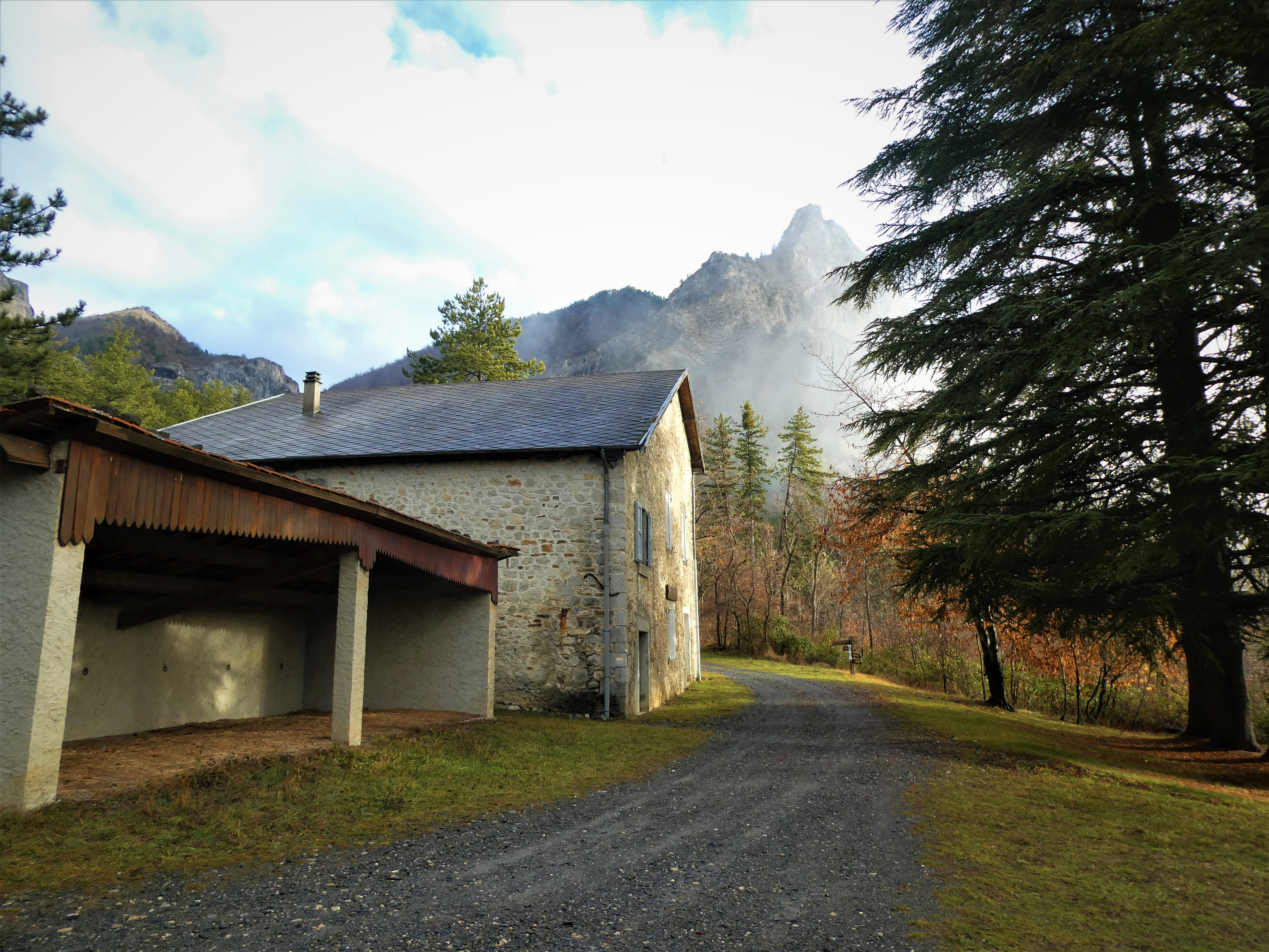
From Laragne-Montéglin (20 km), take the departmental road D 942. 200 meters after the junction with the departmental road D 21 leading to Ventavon, take the small road on your left (Pigrayer sign) and continue towards Pré Lapierre for about 6 km on a forest road.
Parking :
Parking: Bonsecours forest house parking lot in Ventavon.
More information
Report a problem or an error
If you have found an error on this page or if you have noticed any problems during your hike, please report them to us here: