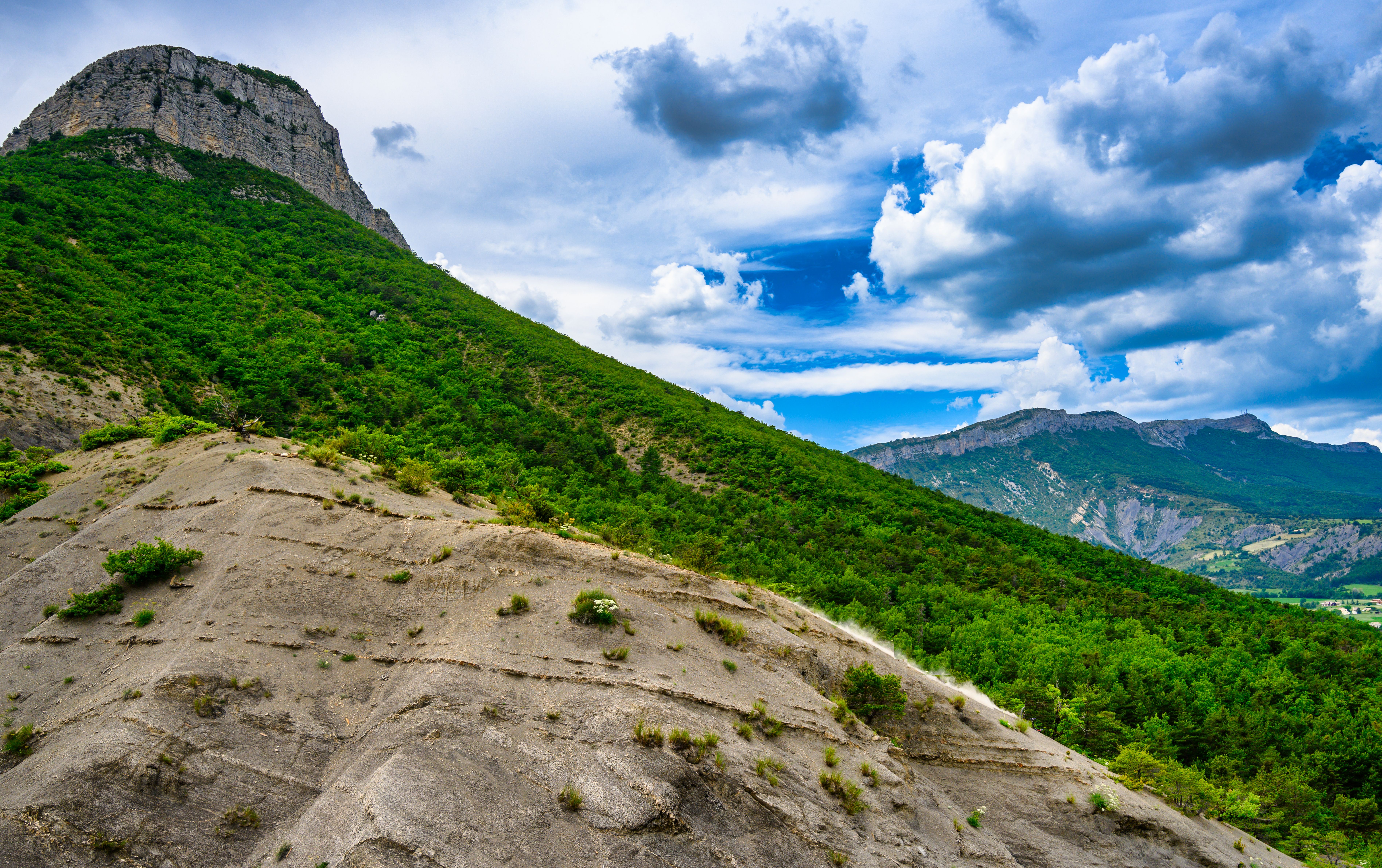
Tour du Mont de Garde
Trescléoux Medium
Tour du Mont de Garde
3h30
8,3km
+585m
-590m
Loop
Embed this item to access it offline
Description
- From the church car park, go down the stairs following the GR markings to La Blaisance
- At the intersection just before the Gravières bridge, turn right up to the Blaisance river.
- At the intersection of the Pont du Vieux Moulin (old mill’s bridge), cross the bridge on the left then walk along a meadow before starting to climb through a pine forest. At the "les Nayses" post, turn left and continue to climb to the pass on a steep path. At the fork, continue on the opposite side.
- Cross the Auriac torrent (often dry), then continue on a steep, ravine path to the Col de Garde (1009 m).
- At the Col de Garde, turn left to reach the top of the Rocher de Garde (1080 m - 15 min).
- At the intersection of the 4 paths, turn left and follow the direction of Trescléoux. Continue on this path which winds through the undergrowth then descends a marly ridge.
- Then join a track. At the “Pied de Garde” post (640 m), take the track on the left which becomes a road. Stay on this small road which runs along the Blaisance to return to the Gravières bridge. At the bridge, find the starting intersection and continue straight on to return to the car park.
- Departure : Church parking lot, Trescléoux
- Arrival : Church parking lot, Trescléoux
- Towns crossed : Trescléoux and Garde-Colombe
Forecast
Altimetric profile
Information desks

Place du village, 05700 Orpierre
Transport
- Think about public transport and carpooling: https://zou.maregionsud.fr
Access and parking
From Laragne (11 km), take the D 1075 then the D 30 (Eyguians junction), at the roundabout, take the 1st right towards Trescléoux. Continue on the D 949.
Parking :
Church parking lot, Trescléoux
1 point of interest

 Lake and river
La Blaisance
La Blaisance takes its source upstream from the town of Montjay, it is a confluence of several torrents. It flows to the town of Garde-Colombe, passing through Trescléoux. It then flows into the Buëch.
More information
Report a problem or an error
If you have found an error on this page or if you have noticed any problems during your hike, please report them to us here: