Garenne plateau
Trescléoux Very easy
Garenne plateau
1h
3,3km
+93m
-96m
Loop
Embed this item to access it offline
Description
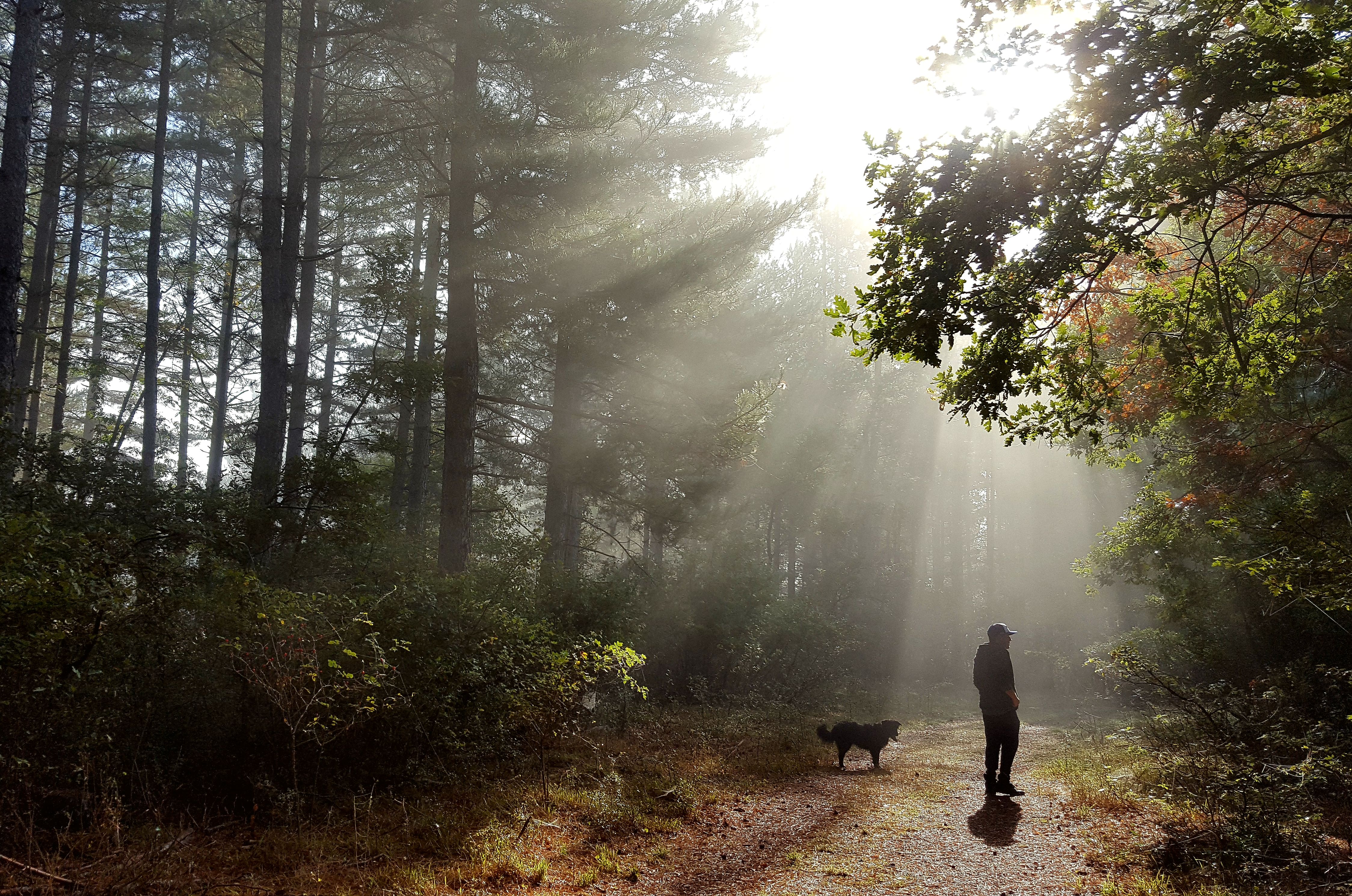
- From the picnic area, go on your right and follow the yellow markings. Go straight forward and ignore the paths on your right and your left.
- Turn left on a smaller path at the junction and go on until you reach a bigger one. Turn right alongside the plateau. Slightly go down on your left and turn right on another path.
- At the « source » sign, turn on your right to see the source. Go back up in a talweg and ignore the mountain bike trail on your right. Go straight until you reach a forest path.
- Continue for about 50 meters et go on the forest path on your left.
- At the end of a huge pasture, turn left and go straight under a pine trees path.
- At the last junction, turn right and go on the same route until the departure point
- Towns crossed : Trescléoux
Forecast
Altimetric profile
Information desks

Place du village, 05700 Orpierre
Access and parking
From Laragne/ Serres on the departmental road D 1075, reach Pont-Lagrand at Eyguians junction. At a roundabout take the 1st exit heading to Trescléoux and after 2,4 km turn right on « Chemin de la Garenne ».
Parking :
Plateau’s picnic area at Trescléoux.
Accessibility
- Emergency number :
- 114
More information
Report a problem or an error
If you have found an error on this page or if you have noticed any problems during your hike, please report them to us here: