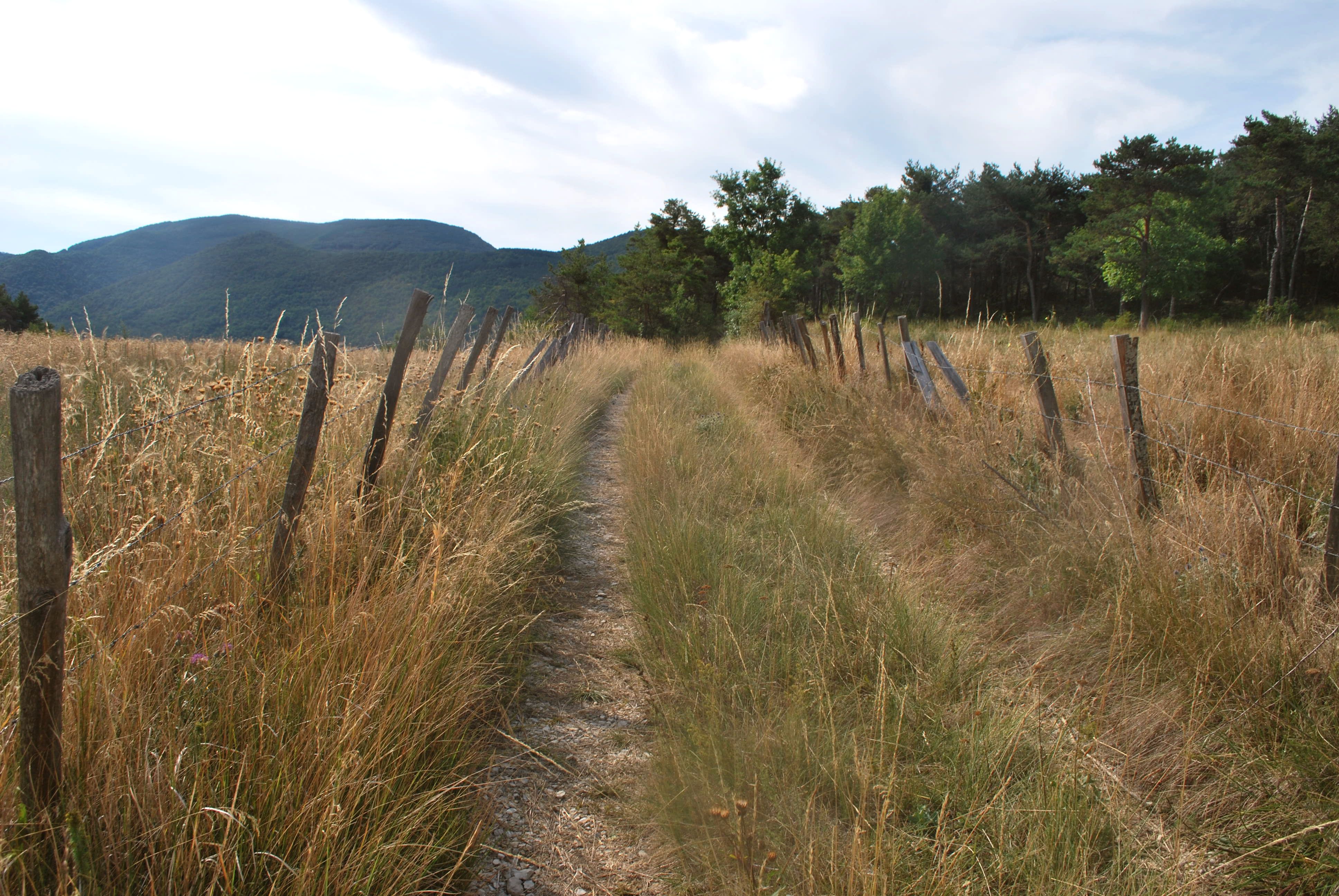
Le Serre de Bout

Saint-André-de-Rosans Easy
Easy
Le Serre de Bout
2h30
7,2km
+271m
-271m
Loop
Embed this item to access it offline
Description
- From the village square, take the small road direction "Mange-Fève" (D 425).
- Take the 1st right at the next crossroads.
- At the Calvary (733 m), follow the small road to the left for about 600 m; then take the track on the right.
- 150 m later, take the left track (after "Font Giraud"). Continue on this path ignoring the tracks to the right. The path becomes a balcony path.
- Arriving at the ridge (Serre de Bout - 897 m), follow it to the right (steep passage), to reach the heights. The trail goes down parallel to the ridge below it, on the right.
- Arriving downhill, turn left towards the relay antenna.
- Follow the track on the right to go back to your starting point.
- Towns crossed : Saint-André-de-Rosans
Forecast
Altimetric profile
Recommandations
- Visit of the ruins of the Benedictine Priory, founded in 988, Romanesque building (guided tours in summer).
Information desks
Access and parking
From Serres (22 km), take the D 994 towards Rosans, then the D 425 at Col de Palluel to Saint André de Rosans.
Parking :
Parking lot of the Priory Inn, Saint-André de Rosans
Accessibility
- Emergency number :
- 114
Report a problem or an error
If you have found an error on this page or if you have noticed any problems during your hike, please report them to us here:

