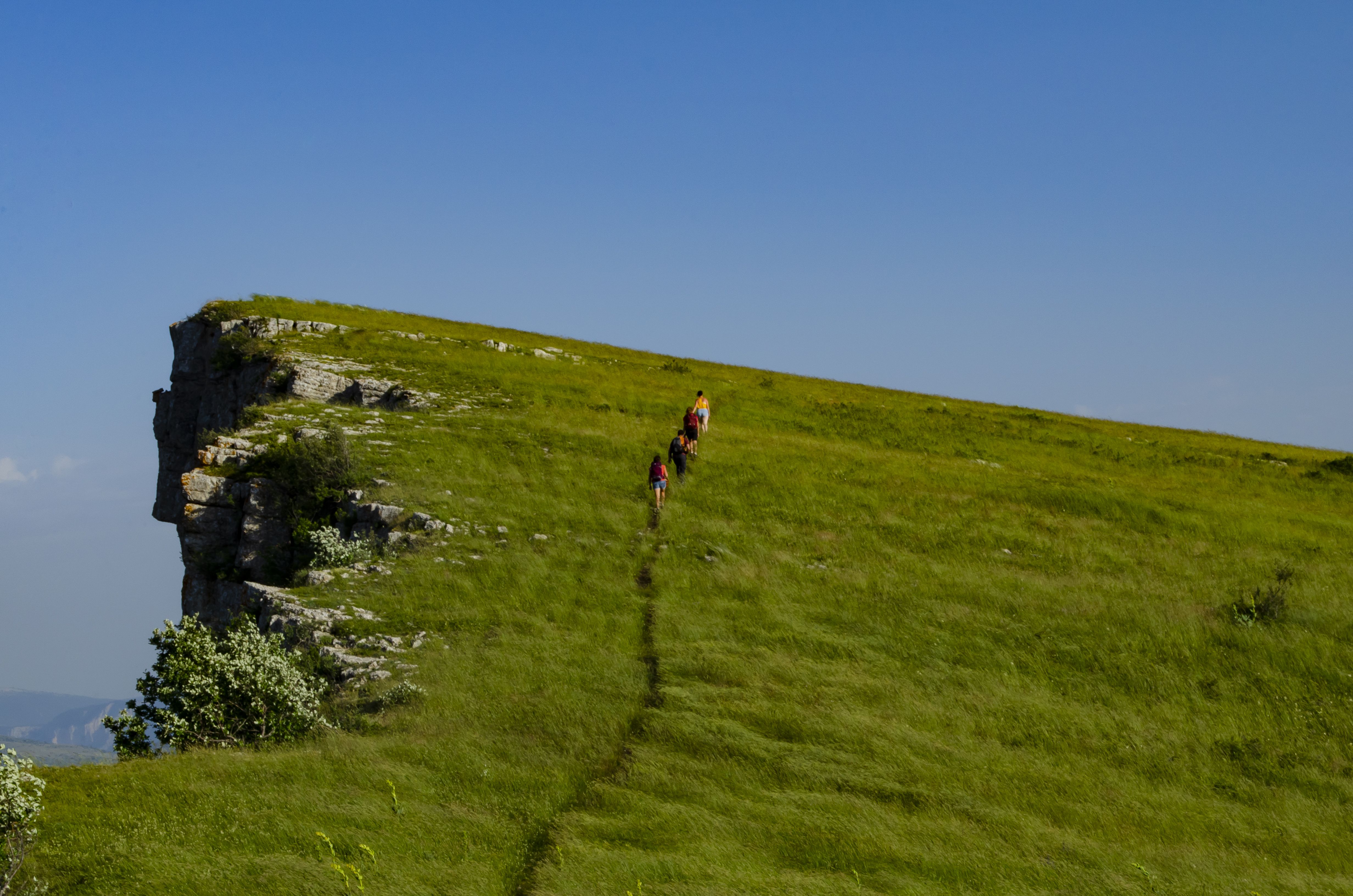
Sommet de Chamouse

Montauban-sur-l'Ouvèze Easy
Easy
Sommet de Chamouse
4h
8,2km
+405m
-405m
Return trip
Embed this item to access it offline
Description
-
Go down the pass for 250 m in the direction of "Buis les Baronnies / Montauban sur l'Ouvèze" by road.
-
At the 1st right turn, at the “Col de Perty” post (1285 m), turn left on the track. Go up switchbacks until you reach an electricity pylon.
- Follow a small path that goes to the right through the boxwoods and rocks. Be careful when descending the ridge, the path is stony and slippery. Pay attention to the left intersection to get back to the ridge. Walk along the ridge to reach the summit of Chamouse.
- The same route in the opposite direction brings you back to the starting pont.
- Towns crossed : Montauban-sur-l'Ouvèze, Laborel, and Izon-la-Bruisse
Forecast
Altimetric profile
Recommandations
- Caution, the path down the ridge is stony and slippery.
Information desks
Place du village, 05700 Orpierre
Transport
- Think about public transport and carpooling: https://zou.maregionsud.fr
Access and parking
From Laragne (26 km), take the D 1075 then the D 30 (Eyguians junction) towards Orpierre then the D 65 to Laborel and continue towards the Col de Perty. In a hairpin bend on the right, take the road on the left (signpost "DFCI - Tussie reserve").
Parking :
Col de Perty, Laborel
Report a problem or an error
If you have found an error on this page or if you have noticed any problems during your hike, please report them to us here:

