Le Reychasset
Description
-
Take the departemental road D 116 towards « Verclause, - Col du Reychasset ». Go along Villebois’ rapid streams.
-
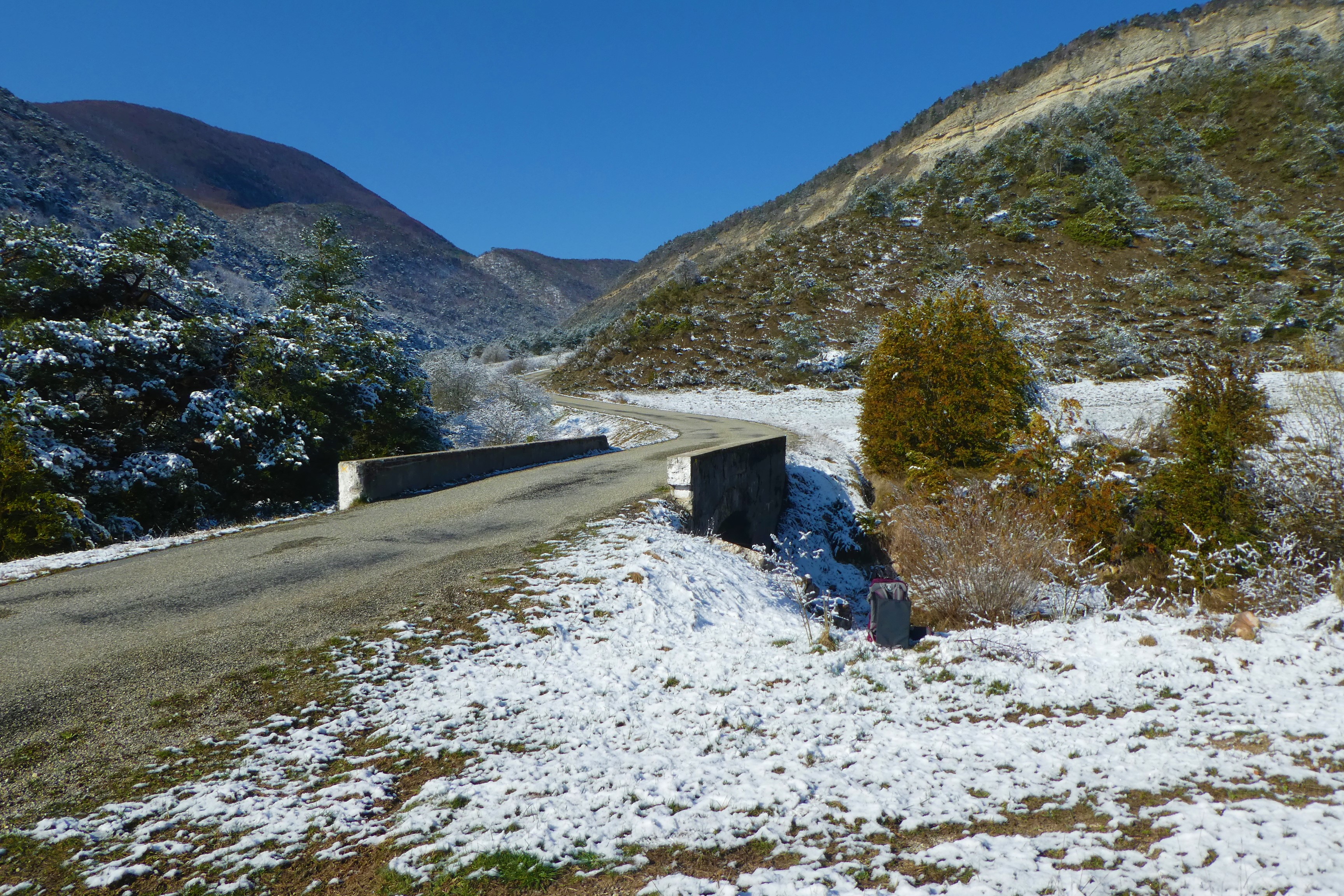
On your right, take the hiking route right before the second bridge. Keep on the track going up into Baumes ravine which extends into a flat area where you have an overview on the landscapes.
-
At the juction, turn left towards Montaux pass (1150 meters). Go along lavender fields then go down along the wide track until Reychasset pass (1052 meters).
-
Cross the road and go straight forward.
-
At Ebastier pass, turn left and cross a brook to hike up the route. Go through the Bois Morin path ending up on a track. Go on straight forward until the village can be seen. Go down the hairpin bends to the road.
-
Once the road reached, turn left.
-
At the first headpin bend, take on your left the old road of Villebois. Go through the old village by the stairs and join the departure point by the road.
- Towns crossed : Villebois-les-Pins and Chauvac-Laux-Montaux
Forecast
Altimetric profile
Information desks

Place du village, 05700 Orpierre
Access and parking
From Laragne (21 km), take the departemental road D 1075 then the departemental road D 30 at Eyguians turnoff. Once Orpierre overtaken, follow the departemental road D 130 towards Villebois-les-Pins.
Parking :
More information
Report a problem or an error
If you have found an error on this page or if you have noticed any problems during your hike, please report them to us here: