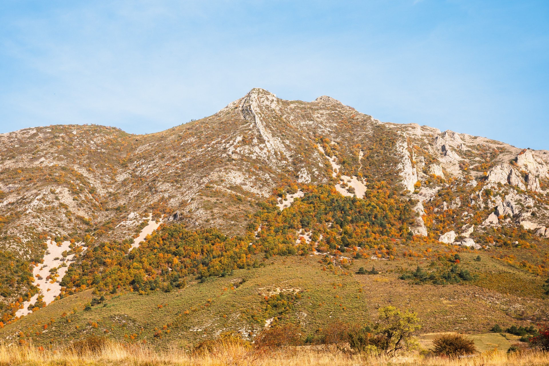
Maraysse

Valdoule Hard
Hard
Maraysse
3h
4,1km
+400m
-405m
Loop
Embed this item to access it offline
Description
- At the sign "Les Garenses" take the left path which cuts a winding track, to reach the Col du Casset (1242 m).
- At the pass (picnic table), follow the Maraysse ridge, to the right, on a narrow and technical path. Halfway on the ridge, leave the ridge and take a cross path along the south side: be cautious and stay focused. You’ll then reach the top of Maraysse (1567 m) with its cross. Take, on the southwest side, a very steep passage (remain attentive). At the foot of this corridor, the well-marked path continues to the west under the cliff. The path joins a grassy ledge and the ridge (1504 m).
- The trail goes down quickly to the right through a clearing, then it enters the beech grove (check and spot well the path that runs down between the trees and is difficult to see). Steep at first , the trail becomes easier up to the pine forest (look out for the markings).
- At an intersection (1210 m), you’ll meet a well-marked path that you’ll follow to the right until you reach a forest track (at a bend). Follow it, on the left, downhill, to go back to your starting point.
- Towns crossed : Valdoule and Ribeyret
Forecast
Altimetric profile
Recommandations
- Itinerary for experienced hikers. The ridge passages require agility and ease in a vertical environment.
- Possible variant for those who do not want to drive through the forest track: park along the D 26 and follow the track up to the sign "Les Garenses". Continue along the marked path ( 5.5 km and 225 m difference of altitude is added).
Information desks
Transport
Think about public transport and carpooling: https://zou.maregionsud.fr
Access and parking
From Serres (20 km), take the D 994, direction Rosans. 2 km after l'Epine, follow the D 26 to the right, direction La Motte Chalancon. Go down the Col des Tourettes, and take the 1st wide forest track on the left after a pond next to the road. Drive up this track and park 1.5 km after the 2nd curve, at the sign "Les Garenses".
Parking :
Parking "Les Garenses" car park, on the Garenses Montmorin forest track
2 points of interest

 Geology
Arche de Maraysse
Located on the Maraysse crest hike, a small arch is located below the path. This geological formation both entertains and questions, but above all impresses with its singularity.
 Geology
The mountain of Maraysse
The Montagne de Maraysse, located in the Oule valley, seems inaccessible at first glance. However, a technical path allows one to get there and thus offers a splendid panorama on the valleys of Oule and Rosans. Further, you can admire the mountains of Lure, The Mont Ventoux as well as the Dévoluy massif.
Report a problem or an error
If you have found an error on this page or if you have noticed any problems during your hike, please report them to us here:
