Tour du Pic de l'Aigle
Description
- At « Les Halles » signpost, hike up alongside the ditch at the edge of a lawn (at the bottom of Rastel’s communal inn). Climb up a small hill leading to a wild field. Cross this field climbing along the fence. After a small ladder continue on the path under the old castel’s ruins and reach the old church’s ones. Go on the rise until “le Reposoir” signpost.
- You can also reach the Eagle Peak by following the left path (1015 meters, 15 minutes return trip and a panoramic view.) Go straight and reach the departmental road D 48 at la Croix pass (838 meters.)
- Still on the left path, overpass Villelongue cemetery and a few meters before Sarret hamlet’s entrance, take another path on your left between cultivated fields. At the junction, turn right and at the next junction go on your left. 80 meters further, turn left once again.
- Follow the wide track and at the first junction, go down forward. At the next junction, turn right and continue straight on the wide track, ignoring the other ways. After a strong left bend, cross the mountain stream. Go back up on the way passing through a marl zone.
- At the « Ves Haut » signpost, take the path on your left hiking up a little rise before going down into the marls at the bottom of the Eysserennes small canyon. It extends into a track and a small road.
- Take the departmental road D 21 on your left and reach the parking lot.
- Towns crossed : Savournon
Forecast
Altimetric profile
Recommandations
- There is also a return trip to the Eagle Peak (15 minutes return trip and a panoramic view.)
- The Eagle Peak rise is quite difficult (steep passages cambering into the marl zone). Not advised to children and beginner hikers.
Information desks

Access and parking
From Laragne (19 km), take the departmental road D 1075 and the departmental road D 21 until the entrance of la Buissière hamlet in Savournon.
Parking :
3 points of interest

 Summit
Eagle peak
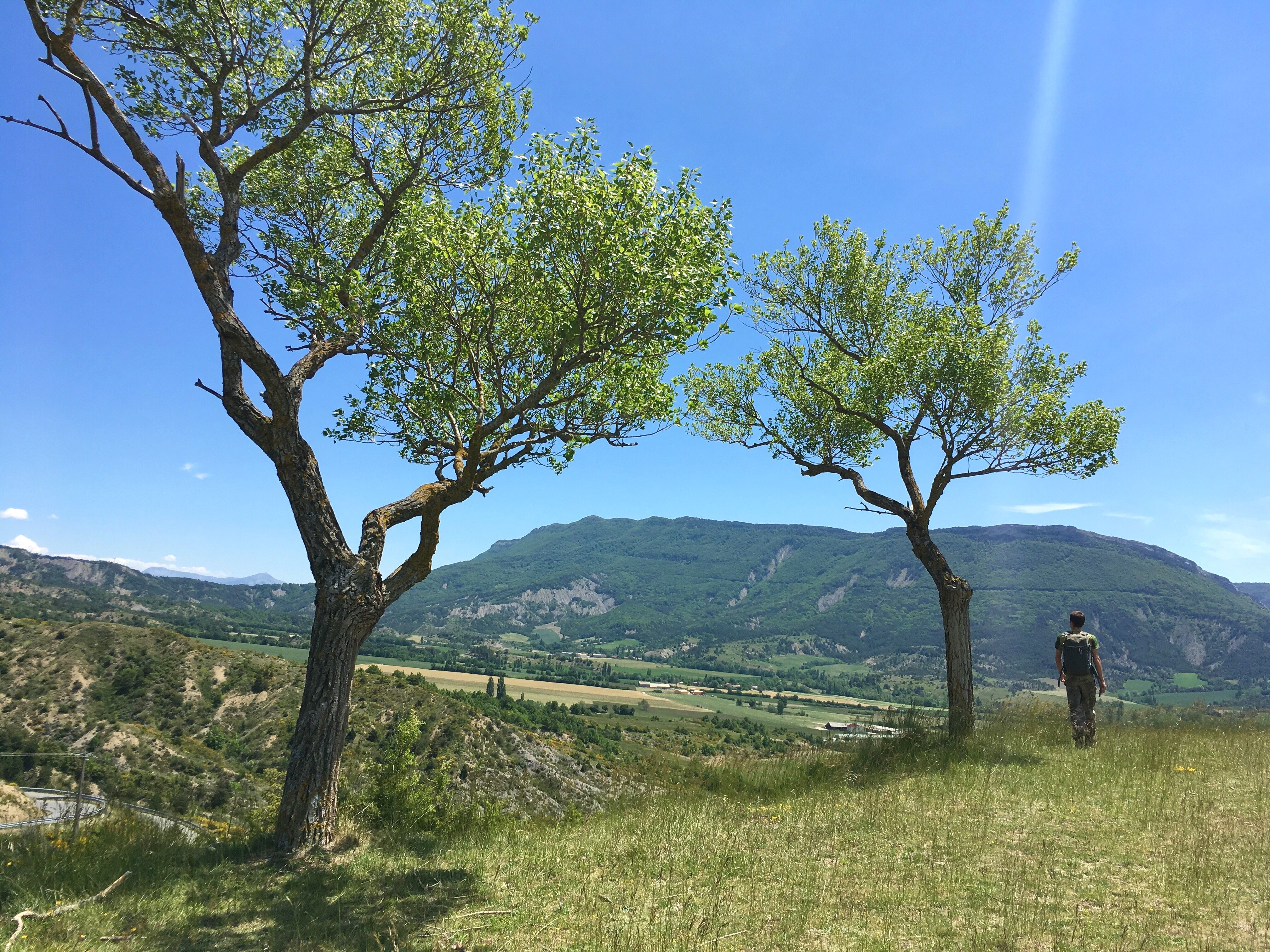
Overlooking the Savournon village, the Pic de l’Aigle – Eagle peak - overwhelm thanks to its presence. Visible from all the valley’s lookout points, it is an appreciated place for its panoramic views on the surrounding massifs.
 Lake and river
Le Béal du Pont ou Grand Béal is one of many waterways coming from Aujour Mountain and flowing into the valley.
 Geology
The Eysserennes canyon, is a small canyon from which the same named mountain stream comes from. It adds an enjoyable refreshing moment for the hikers during summer. It also embodies “Les Terres Noires” – The Black Lands – name given to the Savournon and surrounding marls.
More information
Report a problem or an error
If you have found an error on this page or if you have noticed any problems during your hike, please report them to us here: