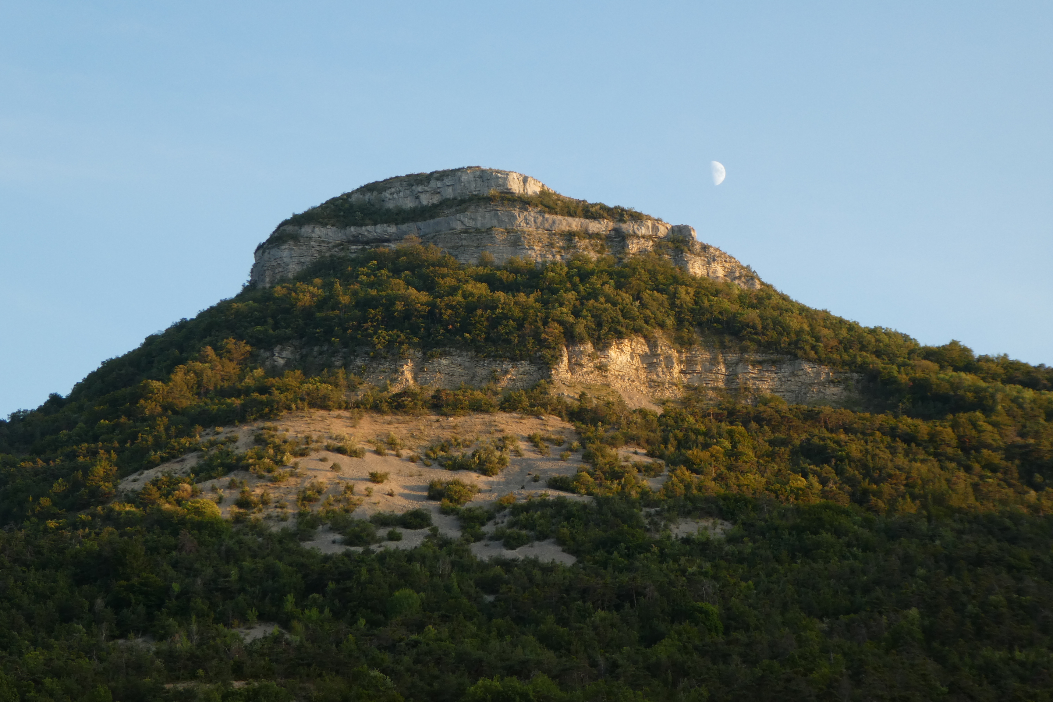
Le Rocher Saint-Michel
Orpierre Medium
Le Rocher Saint-Michel
3h45
8,5km
+873m
-873m
Loop
Embed this item to access it offline
Description
- From the village square fountain, follow the D 30 towards Laragne, then take the small road on the right towards the Camping des Princes d'Orange and, after the bridge, go up the main road which runs alongside the campsite. Continue on the track until you reach a fork. Go up to the right on the main track. Pass in front of the old Paturle farm, ignore the path that goes to the right. Continue uphill until a second fork ( which is a variant via the Bessons plain).
-
Continue to the right on the GR and, after a long ascending crossing overlooking the ravine de Bagnols, you’ll reach an intersection (1031 m).
- Continue a few steps on a track and find, on the left, the path that winds steeply up and leads to a forest track.
- Follow then the yellow marked track to the left, continue to Collet de Bouzon (1126 m). Cross the ONF fence ( national forest Office) and continue until you reach the Saint Michel orientation table (1216 m).
- Take the path that curves to the left of the orientation table and descend along the ridge up to a fork.
- At that intersection, go down to the right direction "Orpierre par la Plaine des Bessons - 2.8 km". Cross the wooded plain, then descend the path until you’ll reach the track. The same way in reverse brings you to the church square .
- Towns crossed : Orpierre and Sainte-Colombe
Forecast
Altimetric profile
Recommandations
- Caution : the descent is sometimes quite steep!
Information desks

Place du village, 05700 Orpierre
Transport
Let’s limit our trips and use public transportation and carpooling: https://zou.maregionsud.fr
Access and parking
From Laragne (13 km), take the D 1075 then the D 30 (Eyguians junction) to reach the district of Orpierre.
Parking :
Place de l'église parking lot, in Orpierre
More information
Report a problem or an error
If you have found an error on this page or if you have noticed any problems during your hike, please report them to us here: