Tour de Saint-Domnin
Sisteron Very easy
Tour de Saint-Domnin
1h30
4,4km
+107m
-108m
Loop
Embed this item to access it offline
Description
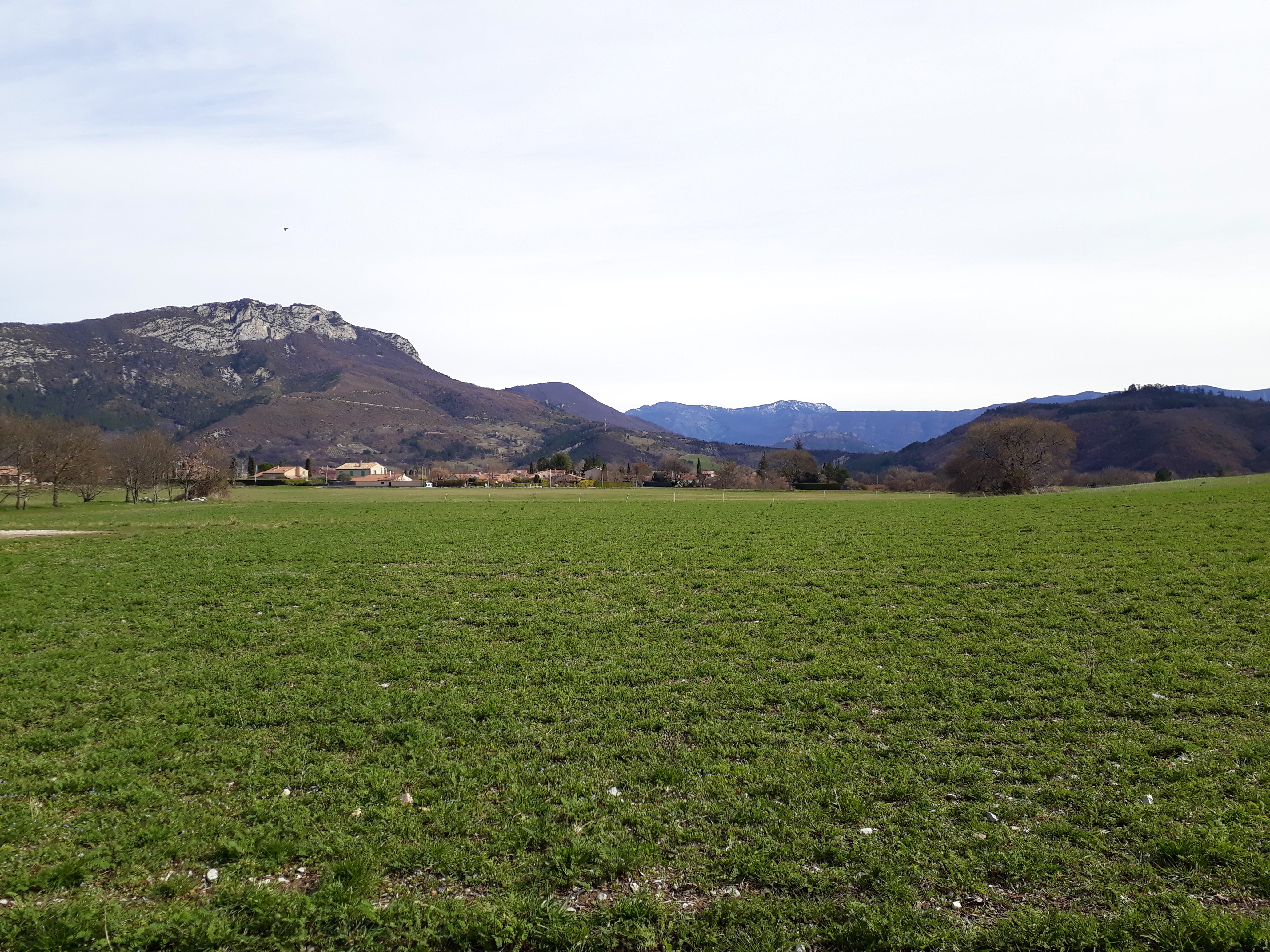
- From the chapel, take path on your right (GR markings). Go down the valley until the junction with the road at the Gournias bridge. Turn right on the road and follow the yellow markings alternating between a track and a tarred road.
- Once Chantemerle reached, go up on the rocky track on your right and reach the road again a few meters further. Follow the departmental road D 53 for 1 km. At Thor neighbourhood, weave while following the markings heading to the departure point.
- Towns crossed : Sisteron
Forecast
Altimetric profile
Information desks

1 place de la République, 04200 Sisteron
Access and parking
From Gap (50 km) follow the national road N 85 and take the motorway A 12 from la Saulce to Sisteron. The departure neighbourhood (le Thor) is located at the south-west of the town.
Parking :
Saint-Domnin chapel’s parking lot – Thor plateau – in Sisteron
Accessibility
- Emergency number :
- 114
More information
Report a problem or an error
If you have found an error on this page or if you have noticed any problems during your hike, please report them to us here: