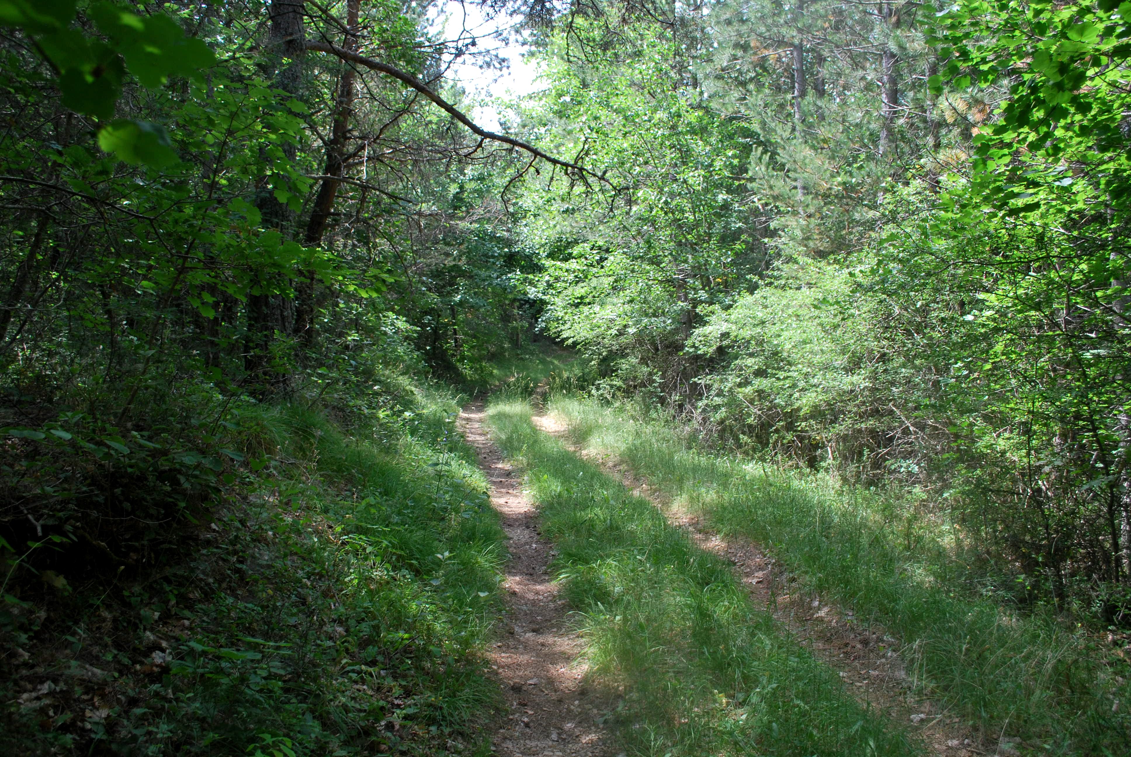
Grand Bois

Épine Very easy
Grand Bois
1h30
6km
+152m
-151m
Loop
Embed this item to access it offline
Description
- From Serre-Larobe (1014 meters), take the track heading to the “Grand Bois” between lavender fields.
- At the junction (1041 meters), go on the track straight forward (the left path is the return track.)
- A second junction allows you to enter the Grand Bois. Turn left (1073 meters).
- Once Font Morelle reached by a track, take on your left the pine trees wood (black pines plantation.)
- Turn left at the junction (1140 meters). The path faces east on the edge of former fields.
- Still in an undergrowth pine trees, go to the north by the slope path leading to the Serre-Larobe. The forest path heads on the departure track.
- Turn right alongside the lavender field to go back to the departure point.
- Towns crossed : Épine and Montjay
Forecast
Altimetric profile
Information desks
Access and parking
From Serres (13 km), take the departmental road D 994 towards l’Epine at the west. Take the departmental road D 926 at south leading to Collet des Michel and Serre-Larobe.
Parking :
Parking: Serre-Larobe parking lot – on the road towards Montjay – (stops upon the hill), l’Epine.
1 point of interest

 Pass
PassSerre-Larobe pass
At the south of l’Epine commune, Serre-Larobe pass located at 1014 meters high is the only crossing point between l’Epine and Montjay village.
Report a problem or an error
If you have found an error on this page or if you have noticed any problems during your hike, please report them to us here:
