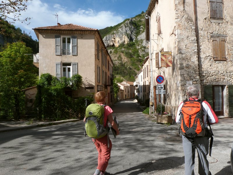
Le Suillet

Orpierre Medium
Le Suillet
3h30
9km
+690m
-688m
Loop
Embed this item to access it offline
Description
- Turn left at the restaurant "Le Portail" and walk deeper into the alleys of the old village following the GR markings. Go up until you find a track above the village. Turn left and find a GR sign, then right on the path.
- Follow the path going up through the ruins of the ramparts; pass in front of an oratory dedicated to "the Virgin" and continue until you reach a ledge. Walk along the path that builds a balcony on the other side of the rocky hillock (Rocher du Gros Doigt).
- At the crossroads of a track, continue straight on the path until the intersection of a track and take a right.
- In the hairpin bend, turn left following the GR markings up to the top. Continue and reach the summit of Suillet (1324 m). Walk down to arrive at an intersection where you then turn right (leave the GR marking and follow the PR marking). Continue on the same path until you reach a track.
- Follow it downhill.
- Just before a left turn, take the path which turns off to the right.
- At the bottom, turn right and always follow the opposite direction to the track crossings. Then walk down an asphalt road.
- Join the road and turn right on the D 30 to get back to the starting point.
- Departure : Orpierre
- Arrival : Orpierre
- Towns crossed : Orpierre
Forecast
Altimetric profile
Information desks
Place du village, 05700 Orpierre
Transport
Think about public transport and carpooling: https://zou.maregionsud.fr
Access and parking
From Laragne (13 km), take the D 1075 then the D 30 (Eyguians / Pont-Lagrand junction) to reach the town of Orpierre.
Parking :
Place de l'église parking lot, in Orpierre
Report a problem or an error
If you have found an error on this page or if you have noticed any problems during your hike, please report them to us here:

