Upaix loop
Description
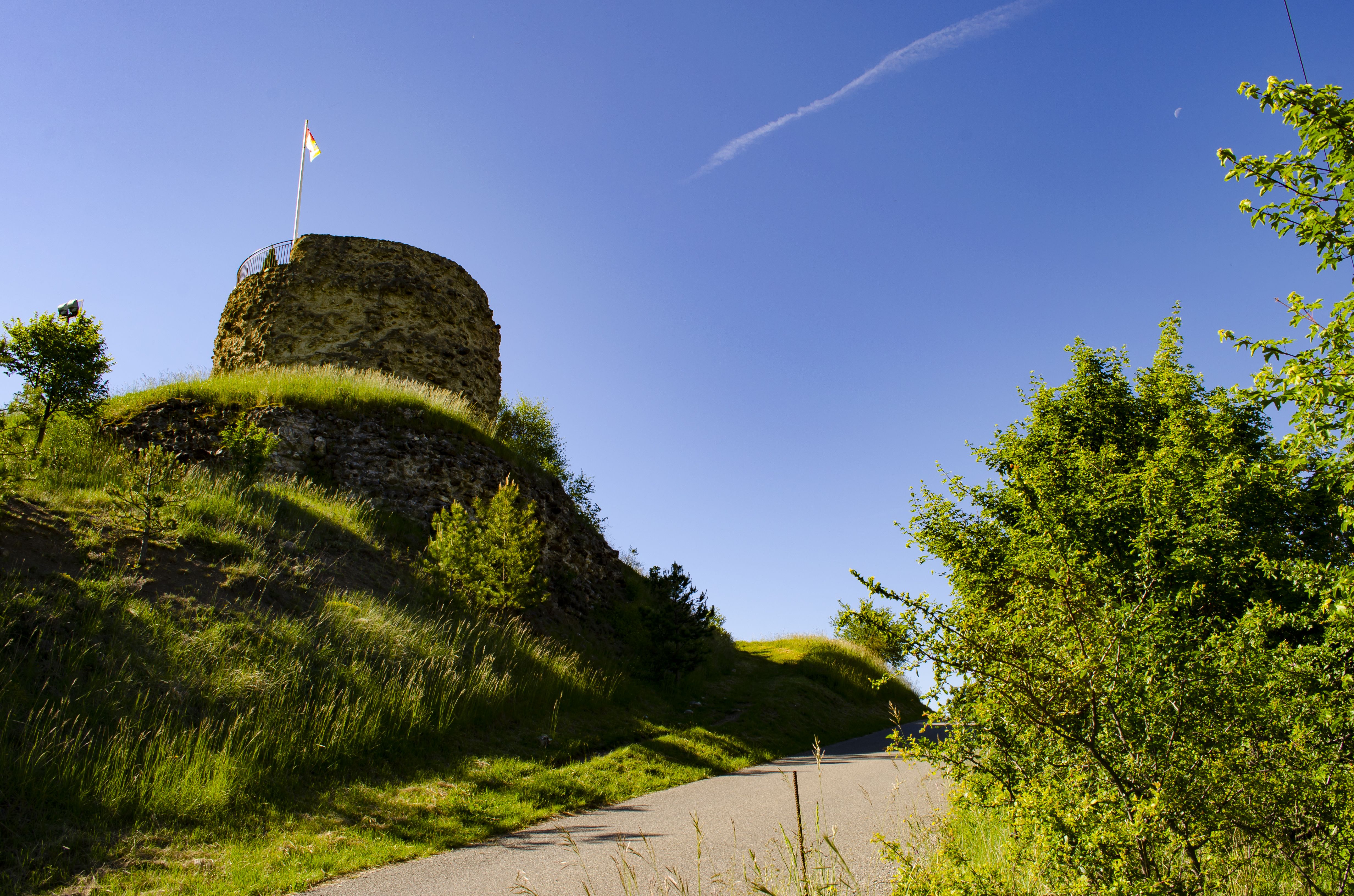
- Follow the road north of the hillock(arrow "Beauvoir par la crête") topped by the tower (orientation table) and, in the bend, take the good stony path which runs flat towards the west . Follow the bumpy ridge, fork right twice and descend into the pines and pubescent oaks. Go up a wooded bump and walk along the ridge trail, then descend towards a little pass. Descend another ridge focusing on Laragne and emerge on a path at another little pass near a field. Follow the path to the right in the thalweg and reach a crossway (sign post).
-
Turn left towards Upaix via Le Brusset. On the road out of Montéglin, cross the D 22 (be careful!) and follow the track almost to the Plan. Turn left, cross the Mardaric stream and reach a small road. Follow it to the left for about twenty meters then turn right onto a path.
-
Continue towards Silos and cross the D 22. Go up to the right following the stony path which bends, passes over stone clusters then slowly climbs to cross a ridge before turning right again to reach a road. Go up to the entrance of the village, go around the church. Take the road again, pass under the porch (14th century, remains of the castle ramparts), turn left, reach the Chapel of the Penitents (17th century restored in 1995; burials discovered during excavations in the crypt). Take the road to the right and, at the junction, either continue straight to reach the parking lot, or go up to the right to reach the hill and admire the panorama.
- Departure : North-east of the village, Upaix
- Arrival : North-east of the village, Upaix
- Towns crossed : Laragne-Montéglin and Upaix
Forecast
Altimetric profile
Recommandations
-
Discovery of the tower and the orientation table, on the mound.
Information desks

Place des Aires, 05300 Laragne-Montéglin
Transport
Access and parking
Parking :
More information
Report a problem or an error
If you have found an error on this page or if you have noticed any problems during your hike, please report them to us here: