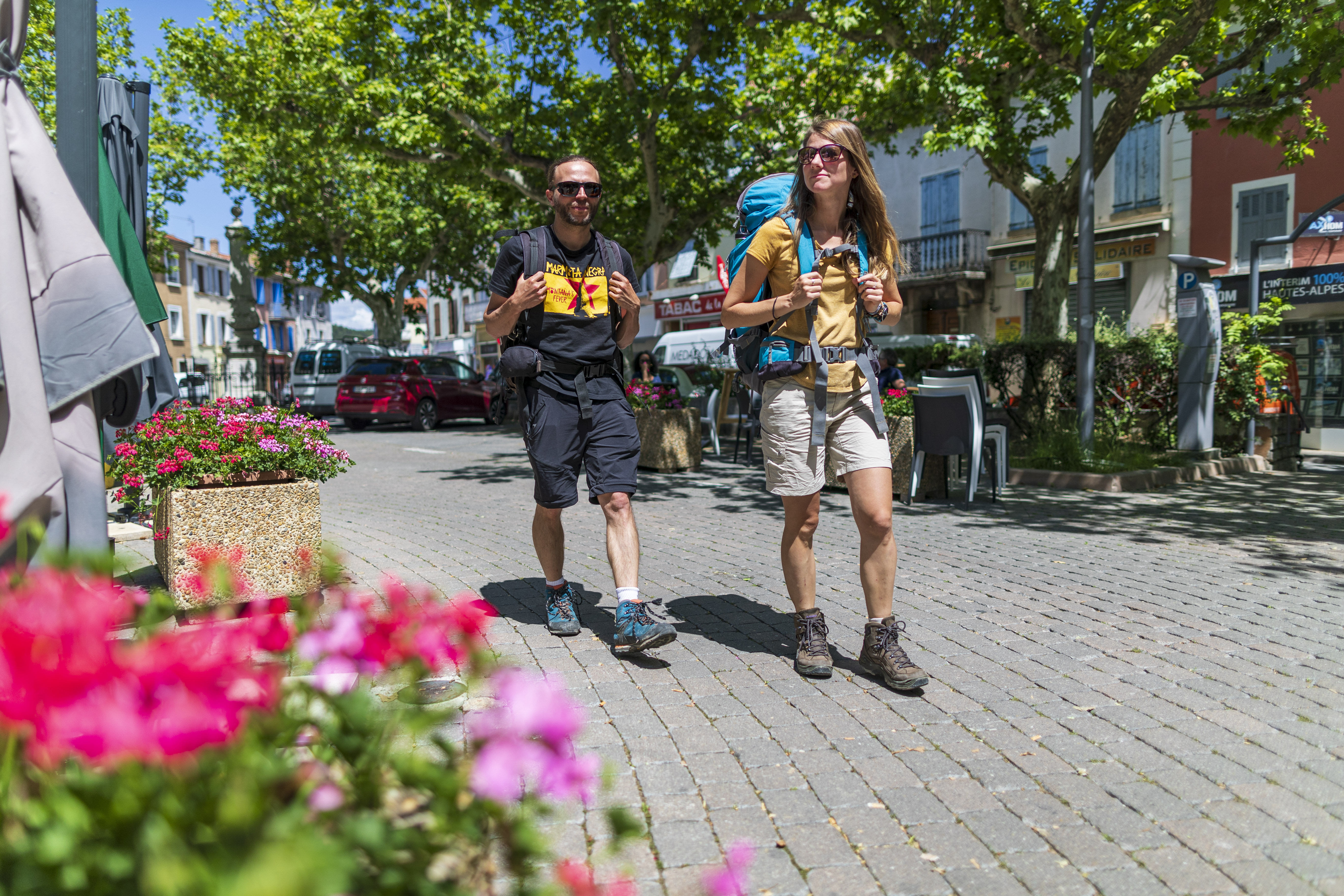
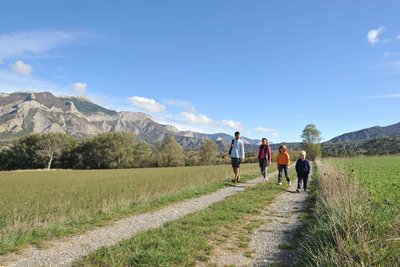
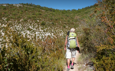
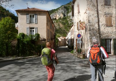
Tour du Buëch
6 steps
Forecast
Altimetric profile
Information desks

Place du village, 05700 Orpierre

Place des Aires, 05300 Laragne-Montéglin

8 points of interest

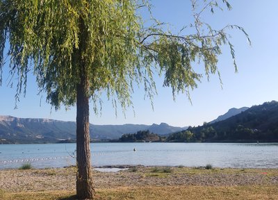
 Lake and river
The Buëch River
A tributary of the Durance, the Buëch Riover is a peaceful river that irrigates many apple fields and other orchards along its course. Taking its source in Lus-la-Croix-Haute, the stream stretches for 85 kilometers and drops to an altitude of nearly 2,000 meters.
- Lake and river
The Riou
The Riou takes its source at the bottom of the valley, digging beautiful gorges. It then comes to fill the Riou lake, very popular spot among tourists and locals during hot Summer days.
- Lake and river
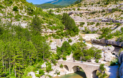
Riou Gorges
Taking its source in the heart of the national forest of Beynon, the Riou dug its gorges. The Gorges du Riou connects the Jubéo Forest and the village of Saint-Genis.
- Lake and river
La Blaisance
La Blaisance takes its source upstream from the town of Montjay, it is a confluence of several torrents. It flows to the town of Garde-Colombe, passing through Trescléoux. It then flows into the Buëch.
 Pass
PassSaumane Pass
The Saumane Pass (1029 m) allows you to reach Serres via the Chapelle de Saumane or the ridge Crête de Fontarache. It also allows access to the Rocher de Jardanne and to reach the village of Sigottier. This grassy path, shaded by trees offers an ideal venue for a break or a picnic in calm weather.
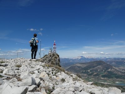
 Summit
Crête de Fontarache
The Crête de Fontarache is an essential passage between Serres and the Col de Saumane for hikers following the Sentier des Moines.
- Panorama
Viewpoint
The Sentier des Moines dominates the Serrois valley and offers beautiful views of the area, especially from the ridge Crête de Fontarache .
 Geology
Pointed rock
This Pointed Rock dominates the Sentier des Moines. It stands out due to its shape. It emerges from the ground and overlooks the surroundings and offers a beautiful view of the village of Serres, its valley and the Buëch river. Its characteristic pointed shape is impressive and makes it the geological specificity of Serres.
More information
Report a problem or an error
If you have found an error on this page or if you have noticed any problems during your hike, please report them to us here: